Wednesday 15 March 2023
La Niña cooling period over
La Niña, a climate pattern which cools the Pacific Ocean, has come to an end after three years.
Although waters in the ocean are cooler during this period, extreme weather is still exhibited globally – with the most obvious example being record rainfall and floods in Australia last year.
El Niño is the other side of this weather cycle, which is a warmer phase of weather. Scientists are still predicting whether the end of the La Niña period will bring extreme heat.
Australia's Bureau of Meteorology (BOM) and the US’ National Oceanographic Atmospheric Administration (NOAA) have confirmed temperatures in the Pacific Ocean to be ‘neutral,’ meaning the world is currently experiencing neither side of the cycle.
BOM has given a 50/50 projection of there being an El Niño later this year, whilst other estimations have the beginning of this next phase in 2024.
The Met Office has predicted that this year will be hotter than 2022, with research from UN scientists claiming that global warming has been held back in the last few years because of La Niña.
This is despite record temperatures in some parts of the world in the last few years, meaning rises could be even larger than those experienced recently.
The last El Niño in 2016 led to the warmest year on record – as the warmer Pacific Ocean sees more heat released into the atmosphere, impacting overall weather patterns.
Temperatures could now rise to between 1.08°C and 1.32°C above pre-industrial levels with the end of La Niña, the Met Office added.
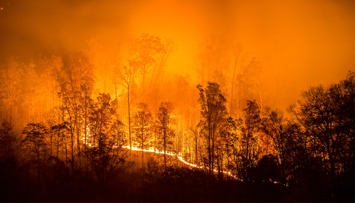
Drought and wildfires could become more common in the next weather phase, whilst the frequency of cyclones and hurricanes may decrease.